
4月30日 的 AFIS Wildfire Map 應用程式分析
AFIS Wildfire Map
- Council for Scientific and Industrial Research
- Apple App Store
- 免費版
- 天氣
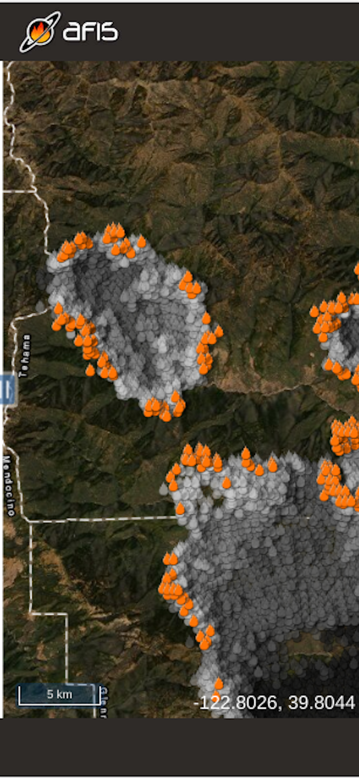
Get the latest updates on wildfire locations with the CSIR's AFIS Wildfire Map app that puts vital wildfire information at your fingertips. AFIS gives you access to fires detected globally by NASA's Terra and Aqua satellites as well as the SNPP and NOAA-20 satellites.
This app provides native access to the AFIS Viewer that is available online at https://viewer.afis.co.za/
This app replaces the previous AFIS app that was no longer maintainable. New features will be added over time.
Visit the South African Council for Scientific and Industrial Research (CSIR) website for more information about the organization behind AFIS: https://www.csir.co.za
商店排名
商店排名基於Google和Apple設定的多個參數。
所有類別 在
美國--
天氣 在
美國--
4月 30, 2026