2月17日的Mapitare Terrain and Sea map应用程序分析
Mapitare Terrain and Sea map
- Mapitare Oy
- Apple 应用商店
- 免费
- 导航
Now you can try all the maps free for seven days (except Swedish nautical charts for three days)!
Mapitare is the first offline mapping software on the market that can be downloaded at once and is designed for critical work and demanding conditions on land, water and air.
The Mapitare terrain and sea mapping software is useful for outdoor enthusiasts, hikers, hunters, boaters and anyone who spends time outdoors. The digital map displays real-time location on a map. The risk of getting lost in mountainous terrain is the greatest when visibility weakens, and even an experienced hiker can lose his or her sense of direction on easy forested land. A ball indicating your position on the map will guide you back to the right path. The map on your phone screen is especially useful in bad weather, when the risk of getting lost is the greatest.
The unique Mapitare terrain and sea map does not require a telephone or electricity networks to function. All of the map data has been downloaded into the memory of the phone. Offline maps are suitable for critical work and function quickly and precisely in all conditions and everywhere within the map’s area. Therefore, weak telephone and data connections do not have any effect on the use of the Mapitare map. They can be used even after the telephone network has already faded. The operator is responsible for ensuring adequate battery life, and if necessary, should back it up with a power bank or backup battery.
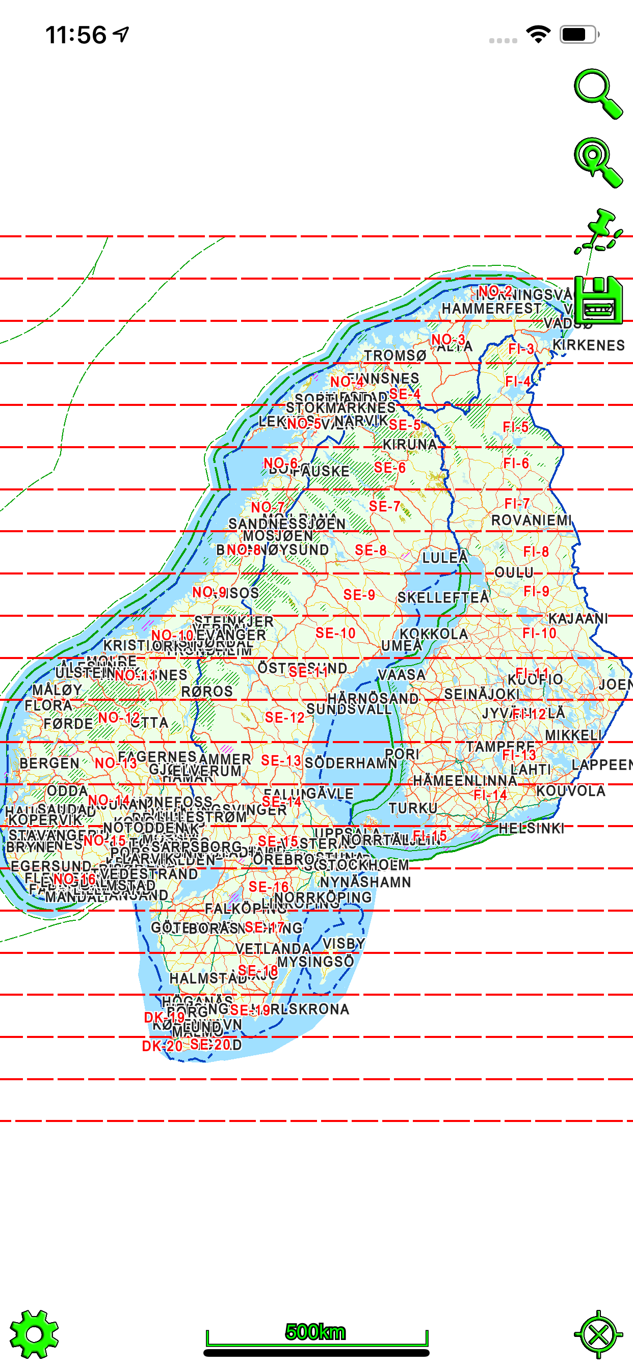
In its entirety the data covers all of the land and sea areas of Finland, Sweden and Norway. In future the map data will expand even further.
We offer following in-app purchases:
Terrain map of Finland
Sea map of Finland (requires terrain map of Finland)
Terrain map of Sweden
Sea map of Sweden (requires terrain map of Sweden)
Terrain map of Norway (includes depth contours)
Purchase includes routing on road, water way and snowmobile routes.
Data sources include:
National Survey
©Maanmittauslaitos, CC BY 4.0
©Lantmäteriet, CC BY 4.0
©Kartverket, CC BY 4.0
Road Management
©Liikennevirasto, CC BY 4.0
©Trafikverket, CC BY 4.0
©Kartverket, CC BY 4.0
Addresses
©Väestörekisterikeskus, CC BY 4.0
©Trafikverket, CC BY 4.0
©Kartverket, CC BY 4.0
Cadastral Registry (property)
©Finnish National Survey, CC BY 4.0
Land parcel register
©Agency for Rural Affairs, CC BY 4.0
OpenStreetMap
©OpenStreetMap contributors
©Creative Commons, CC BY-SA
Other data
©National Forestry
©SYKE
©LIPAS
Maritime Administration (requires terrain map)
©Liikenneviraston lisenssi No. 1604/07/07.03.01/2015
©Sjöfartsverket licence No. 17-00494
Mapitare Ltd
The company has over 15 years of experience in operational systems. As a result of the five years of development, a new mapping technology and reliable service model (tested) have been created. The map has no scale limit, and items are presented with production precision (cm).
Mapitare software has no dependencies on other suppliers. As a result, 100% change management can be done in a cost-effective way. The software products can be used in all systems and network connections are not needed for their use. Being independent of the environment and hardware guarantees a long life cycle for the technology.
Information about in-app purchases:
– Payment will be charged to iTunes Account at confirmation of purchase
– Subscription automatically renews unless auto-renew is turned off at least 24-hours before the end of the current period
– Account will be charged for renewal within 24-hours prior to the end of the current period
– Subscriptions may be managed by the user and auto-renewal may be turned off by going to the user's Account Settings after purchase
– Any unused portion of a free trial period, if offered, will be forfeited when the user purchases a subscription
Continued use of GPS running in the background can dramatically decrease battery life.
Mapitare Privacy Policy and Terms of Use: https://mapitare.fi/privacy-policy/
商店排名
商店排名基于 Google 和 Apple 设置的多个参数。
所有品类在
美国--
导航在
美国--
二月 17, 2026