


10月5日 的 Trench Scanner 應用程式分析

Trench Scanner
- VINCENT WEI HON ZHENG
- Apple App Store
- 付費
- 公共設施
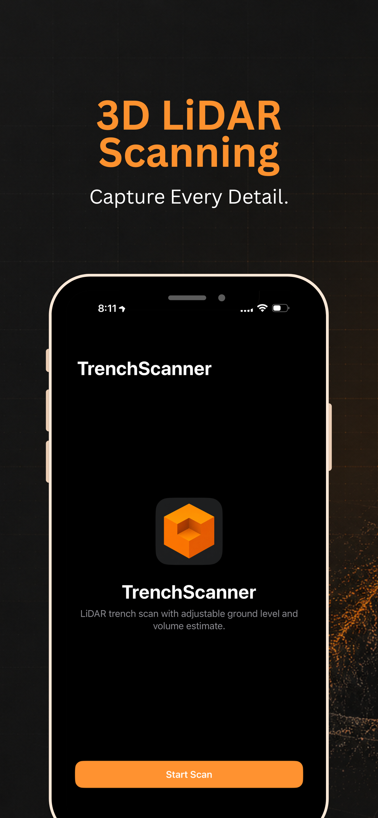
Trench Scanner uses your iPhone’s LiDAR to scan an excavation and estimate how much material has been removed.
HOW IT WORKS
• Scan — Walk around the trench from a safe distance so the camera sees the walls and floor. LiDAR builds a 3D mesh of the site.
• Ground level — After scanning, adjust the ground slider between the highest and lowest points in the scan to match the trench lip.
• Volume — The app calculates excavated volume inside the scan area and shows it in m³ or ft³.
• 3D preview — Review the scan mesh, reference plane, and filled void before you leave site.
WHO IT’S FOR
Contractors, landscapers, utilities, and anyone who needs a quick on-site volume check without setting up traditional survey gear.
REQUIREMENTS
• iPhone or iPad with LiDAR (e.g. iPhone 12 Pro and later, iPad Pro with LiDAR)
• Good lighting and a clear view of the trench floor for best results
IMPORTANT
Trench Scanner provides field estimates for planning and reference. It is not a certified land survey or engineering measurement. Results depend on scan coverage, site conditions, and how you set the ground level. Always follow your site safety rules and local regulations. Do not enter unsafe trenches.
One-time purchase. More export and reporting features may be offered in future updates.
商店排名
商店排名基於Google和Apple設定的多個參數。
所有類別 在
美國--
公共設施 在
美國--


 Trench Scanner VS.
 10月 5, 2026