Sie haben Ihr Suchlimit erreicht
Starten Sie Ihren kostenlosen Testzugang, um weiterhin alle Traffic- und Performance-Insights zu erkunden.
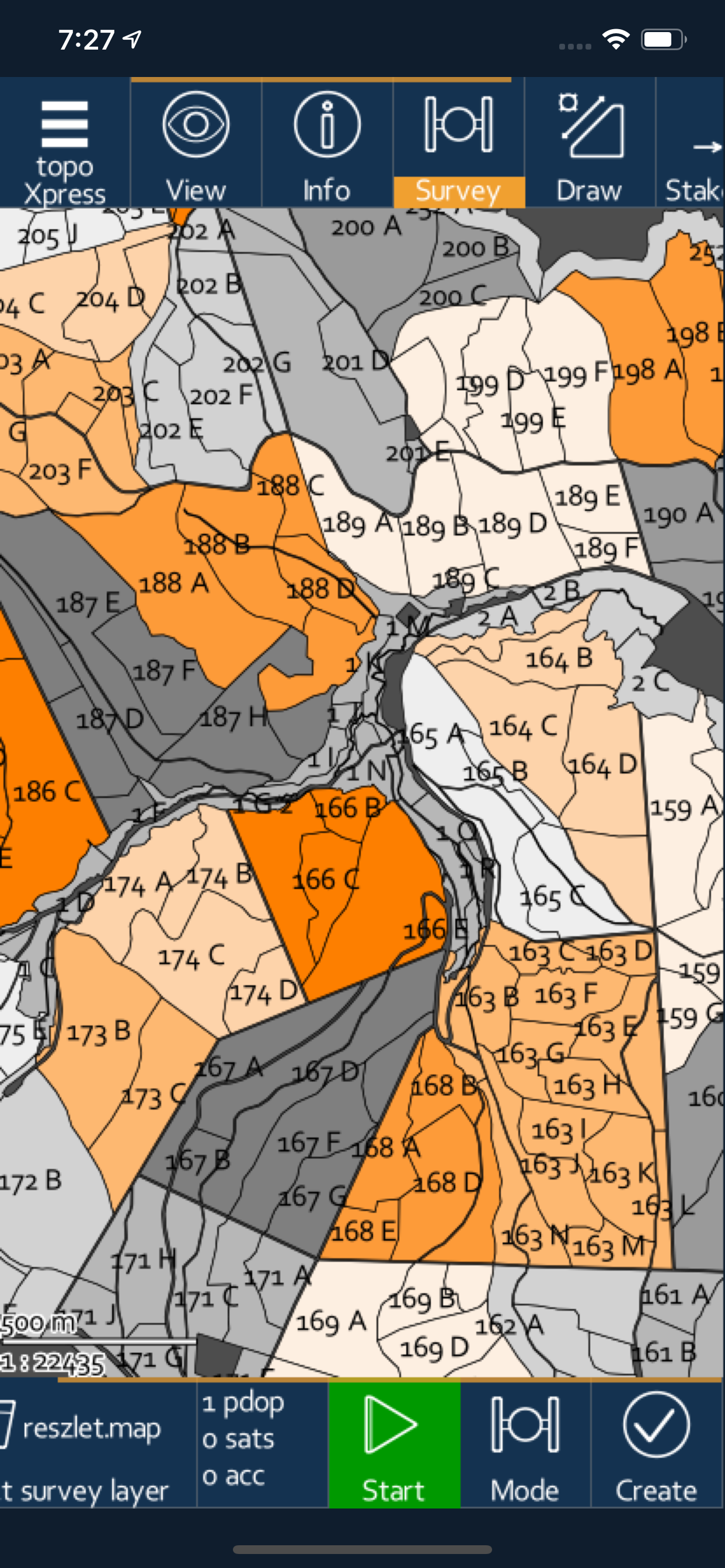
Los geht'stopoXpress App-Analysen für 11. Juli
topoXpress
- TopoLynx Informatikai Korlatolt Felelossegu Tarsasag
- Apple App Store
- Kostenlos
- Navigation
topoXpress provides the following features:
• Multiplatform design: the same software with the same rich functionality for both GIS data collectors and Surveyors on iOS & macOS.
• Handling and displaying large spatial datasets (raster and vector).
• Responsive and intuitive user interface: easy to learn and use, automatic adjustment to different screen sizes, orientations, and resolutions of mobile (iPhone, iPad) and desktop devices.
• Online and offline operation: online data sources (Cloud storage, TMS, WMS, KML), offline raster datasets (jpeg, ecw, ers, tiff, png, lan, bil, ENVI bsq), offline vector datasets (shp, dxf, map, GeoJSON, mif, txt, crd, dat, dbf, tab, mid).
• Powerful GIS visualization functions: thematic mapping, transparency, labeling, query, layer groups, vector symbols, line types, fill types, event mapping.
• Productive data collection: templates, surveying, stakeout, CoGo (Coordinate Geometry), forms, lists, calculated fields, GIS editing functions, sampling tool, and more.
• Collaborative mapping for professional users through the topoXpress cloud service.
• Extensive support of GNSS receivers through TCP port & Bluetooth, projection systems, geoids, shift grids. Bluetooth Rangefinder support for CoGo tasks.
The app can be used in many different sectors:
• Field data collection and inspection
• Land Surveying
• Topographic mapping
• Forestry
• Farm mapping
• Utility mapping and inspection
• Archeology
*** NOTE: topoXpress offers all specified GIS functions free of charge. However, loading more than 10.000 records, saving and exporting your job can be done through our cloud service. Please visit our website for further details: https://topoXpress.com
**NOTE ON BATTERY USAGE: The app may dramatically decrease battery life during the use with large spatial datasets. The app supports optional background location services, which can may cause a faster battery drain than usual.
Rang speichern
Der Store-Rang basiert auf mehreren Parametern, die von Google und Apple festgelegt wurden.
Alle Kategorien in
Vereinigte Staaten--
Navigation in
Vereinigte Staaten--
Top-Wettbewerber und alternative Apps
Apps mit hoher Wahrscheinlichkeit, von denselben Benutzer:innen aus demselben Store verwendet zu werden.
Geo Data Collector
MyGIS
Survey360
GRTech Beacon 4.0/5.0 NTRIP
Juli 11, 2026