Terrain Radar Altimeter のアプリ分析 1月10日
Terrain Radar Altimeter
- Joerg Nestele
- Apple App ストア
- 無料
- ナビゲーション
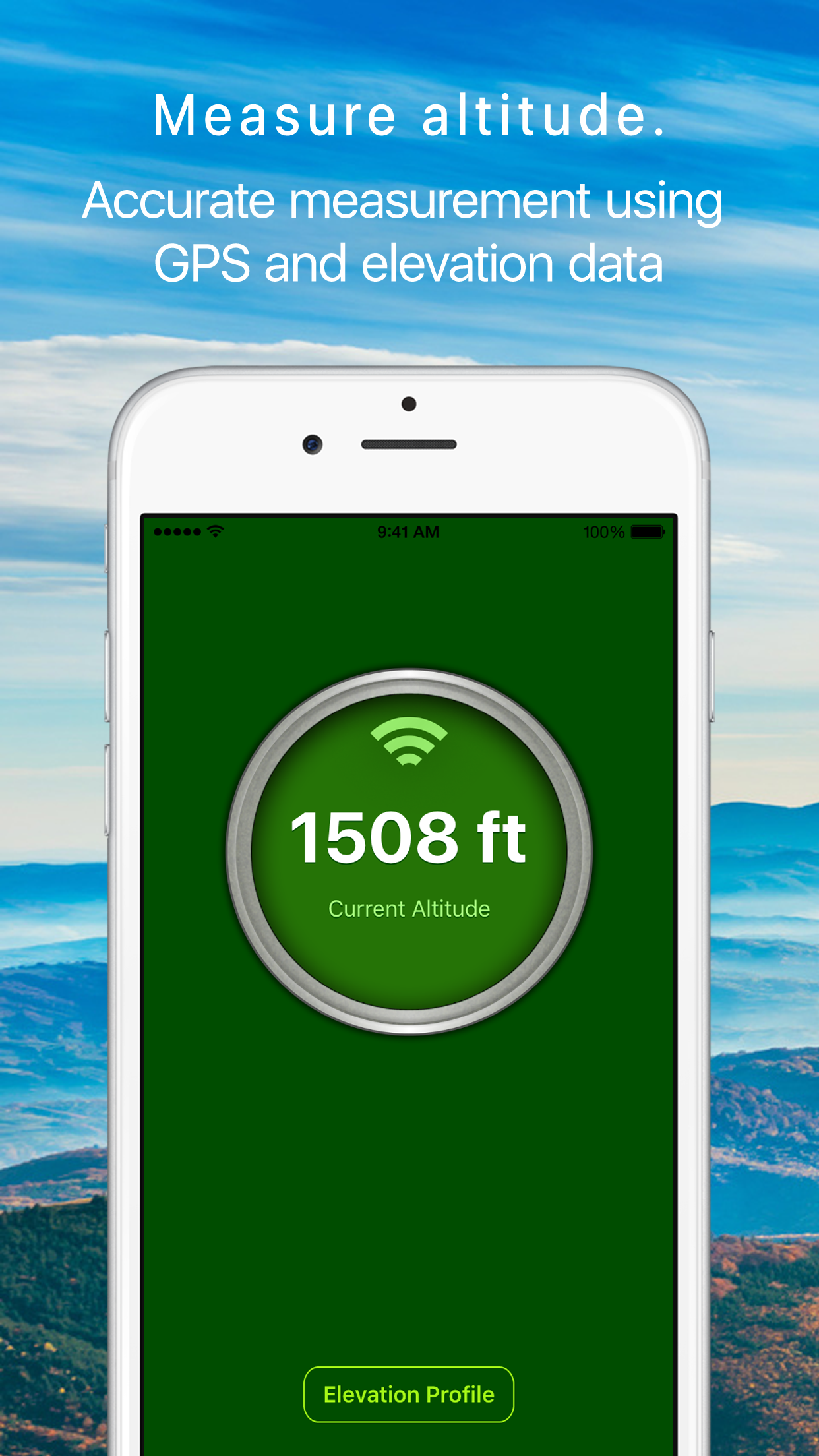
Measure the elevation of each location within a radius of 500 meter. With Terrain Radar Altimeter you can discover the height of hills in front of you or take a look at further away mountains. The unique combination of device sensors and internet-based geo informations makes Terrain Radar to the best altimeter app in the store.
FEATURES:
• High accuracy digital elevation model
• Range up to 500 meter (1600 ft)
• Calculation of altitudes in real time
• Precise elevation chart
• Display in meter or feet
The altitudes are calculated through online services, based on your GPS position and compass direction.
Whether biking, hiking or walking - with this altimeter app every trip is a journey of discovery!
ストアランキング
ストアランキングは、GoogleとAppleが設定した複数のパラメータに基づいています。
業界別 ウェブサイトカテゴリーで
米国--
ナビゲーションで
米国--
1月 10, 2026