1月21日的Trail Atlas Baltics应用程序分析
Trail Atlas Baltics
- NORMUNDS NEIMANIS
- Apple 应用商店
- 免费
- 导航
Trail Atlas – Explore Baltics Outdoors
Looking for the ultimate outdoor companion? Whether you’re hiking through forests, biking across long-distance routes, or chasing hidden viewpoints, Trail Atlas helps you explore Baltics outdoors with ease.
Unlike other trail apps, Trail Atlas focuses on official hiking and biking trails, parks, and natural landmarks, so you always know you’re on reliable and curated routes. At the same time, it adds a geocaching-inspired twist: every trail, tower, park, or viewpoint becomes something you can discover, complete, and share.
Why Trail Atlas?
- Official data you can trust – Explore marked hiking and biking trails, parks, nature reserves, towers, viewpoints, and other official outdoor features.
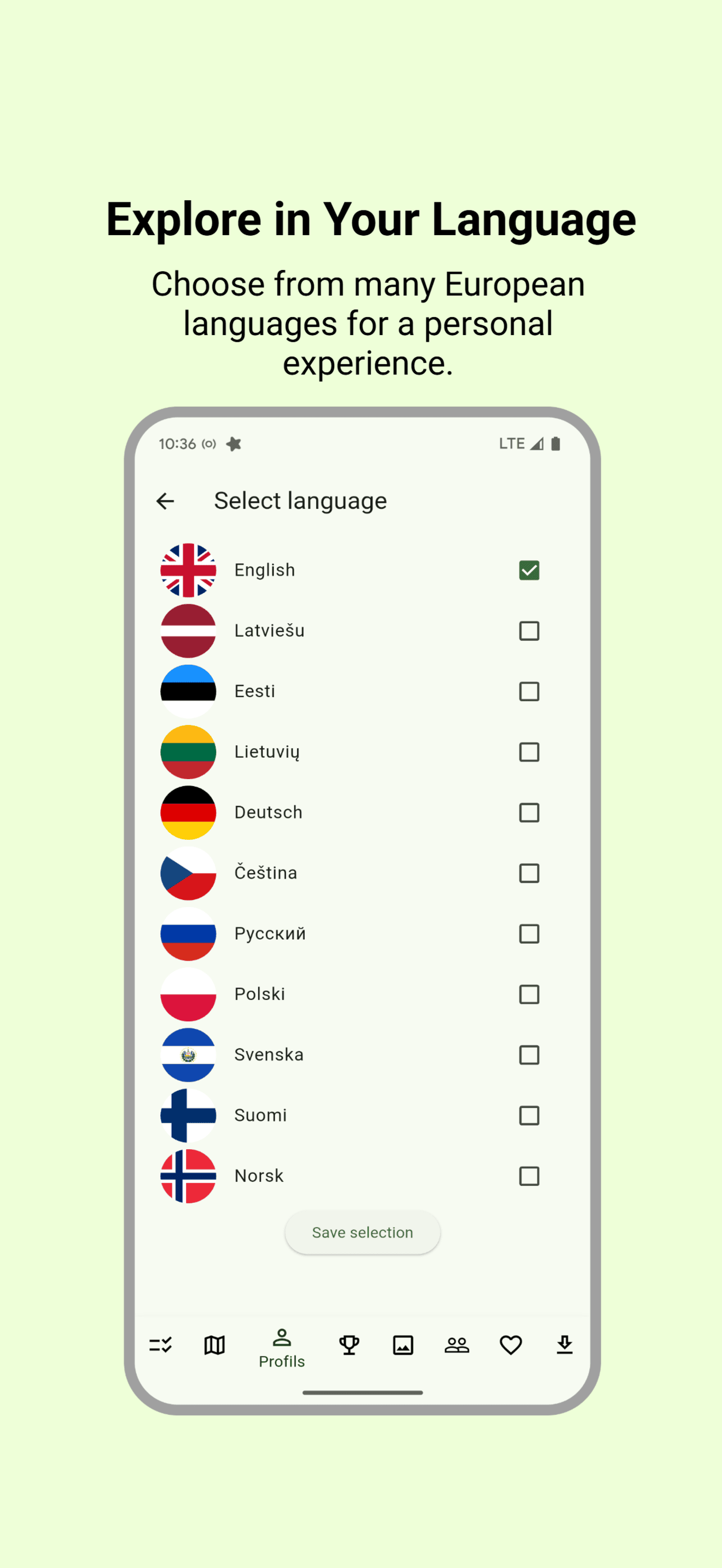
- Works offline anywhere – Download maps, routes, and trail details for full offline use. Perfect for remote areas without signal.
- Geocaching-style challenges – Collect trails and outdoor points by visiting them. Completed routes are tracked in your profile and shown on your map.
- Social exploration – See your friends’ completed routes, share your own adventures, and stay motivated with the leaderboard.
- Track & record your activity – Record your hikes or rides with GPS, save them to your profile, and share with friends.
- Create your own routes – Use the map to plan custom routes, then follow them on your next adventure.
- Export to GPX – Download any route as a GPX file and use it with your GPS device or other mapping apps.
- Wishlist your adventures – Save trails or routes shared by friends to your personal wishlist for later exploration.
- Upload and share photos – Add pictures from your trips, share them with friends, and build a visual story of your outdoor experiences.
All of Baltics, One App
- Trail Atlas isn’t limited to just one region. Our goal is to cover all of Europe with official trail data and detailed topographic maps. Whether you’re planning a short walk near home or a multi-day cycling trip across borders, Trail Atlas is designed to be your go-to companion.
Fair and Fun Competition
- Compete with friends and other explorers on the leaderboard. Your ranking is based on real activity: distance on official trails, time outdoors, and completed objects like viewpoints or towers. It’s fun, fair, and designed to keep you motivated without giving motorized travel an unfair advantage.
Made for All Explorers
Trail Atlas is built for anyone who loves the outdoors:
- Hikers discovering new trails and viewpoints
- Cyclists planning long-distance rides
- Families exploring parks and towers together
- Adventurers who want to track progress and relive their journeys
Why Go Premium?
- Trail Atlas offers a free experience with rich functionality. A premium subscription unlocks additional features, offline downloads at larger scale, and advanced planning tools - perfect for serious explorers who want more control and reliability.
Trail Atlas – your official guide to Baltics outdoors.
Discover, track, and share your adventures. Offline, social, and geocaching-inspired — all in one app.
商店排名
商店排名基于 Google 和 Apple 设置的多个参数。
所有品类在
美国--
导航在
美国--
一月 21, 2026