

You’ve hit your search limit
Start your free trial to keep exploring full traffic and performance insights.
Get StartedOutDoors GPS France - IGN Maps app analytics for October 23

OutDoors GPS France - IGN Maps
- RoadTour LLC
- Apple App Store
- Free
- Navigation
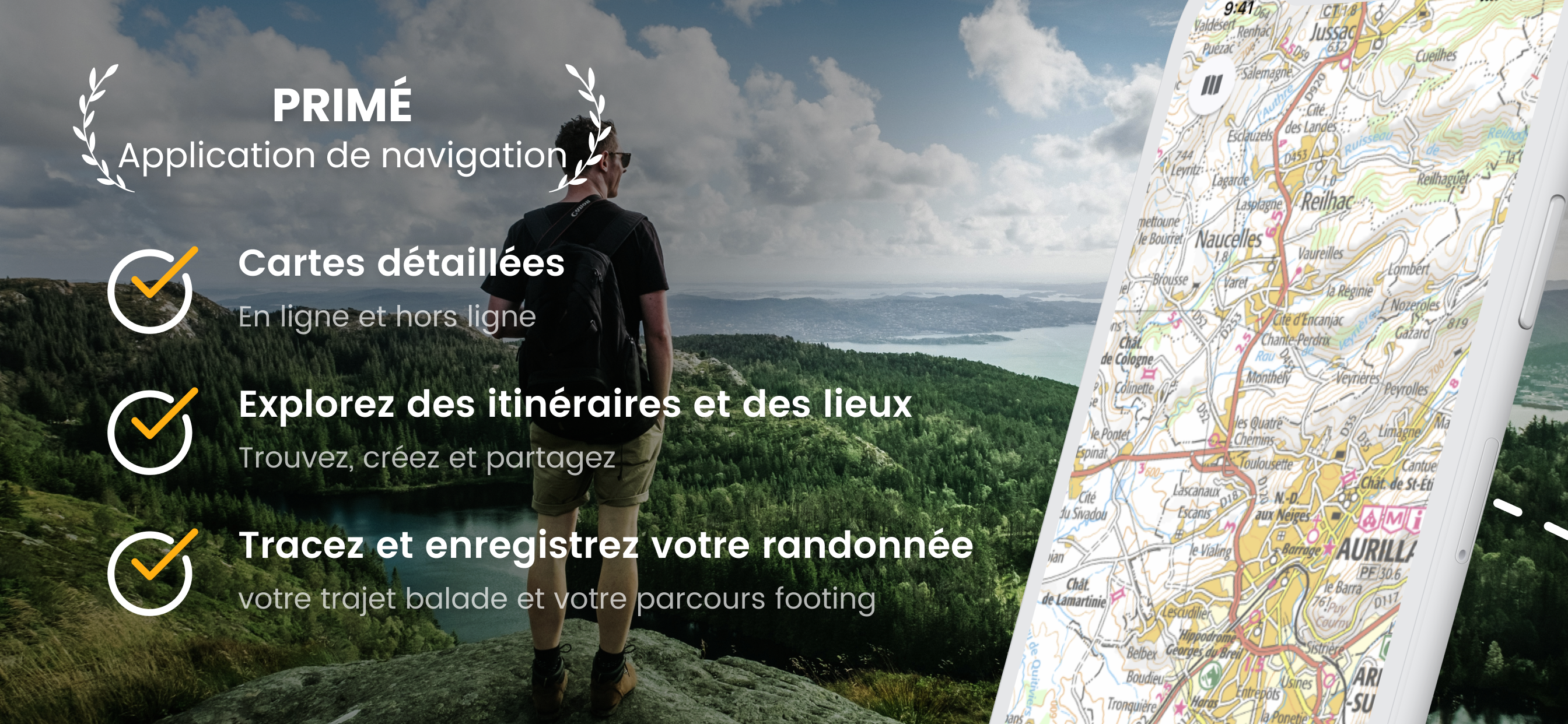
** France’s No1 mapping and GPS app – Ideal for following hiking and biking routes in total confidence – Official Topo Maps (IGN) can be downloaded so app works anywhere regardless of signal so you’ll never become lost again! – Other Maps include Satellite, and Road maps – Find & Follow routes across Europe – Record, save & share routes online. **
***** “Extremely easy to use and looks great. Verdict: an easy and low cost way to get into GPS navigation.” -[Trek & Mountain Magazine].
POWERFUL GPS FUNCTIONS
OutDoors France turns your phone into a fully functioning outdoor GPS;
• Find your location in seconds.
• Find or create your ideal route.
• Follow your route easily with in-built Compass and super-clear direction view.
• No need for a paper map nor expensive specialist GPS to enjoy a trip with confidence.
• Watch the app track your route on the map with statistics (route record).
• Current position stays centre (great for cycling).
GREAT CHOICE OF MAPS – UNLIMITED FREE DOWNLOADS – TOPO MAPS (IGN)
• No need for phone signal - map downloads are stored on your iPhone.
• 5 free map types include; Topo Maps*, Road Maps, Satellite view, Terrain & Hybrid
• You can rotate the online maps & tilt the Terrain map to give a 3D effect.
• View your chosen maps in glorious full screen (minimize icons).
• Large map downloads make it really easy to manage your maps.
* Topo Maps are France’s official highly detailed topographical maps licensed by IGN.
FREE ROUTE BUILDING WEBSITE & COMMUNITY
• Plan, edit and share routes.
• Use our Map Search tool for finding routes all over France.
• View graphical elevation profiles, total climb & distances.
• Move routes between iPhone, iPad and website in seconds.
• Share routes on Facebook, Twitter, Email (or Import/Export GPX files).
NOTE: Continued use of GPS running in the background can dramatically decrease battery life.
You can subscribe to IGN Unlimited Maps. Your subscription will be £30 for 365 days from the date of subscription, charged to your iTunes Account, and will automatically renew unless cancelled at least 24 hours before the end of the current period. Auto-renew can be turned off anytime by going to your Account Settings in iTunes after purchase. No cancellation of the current subscription is allowed during active subscription period. Any unused portion of a free trial period, if offered, will be forfeited when purchasing a subscription.
Terms of Use: http://outdoorsgps.com/terms
Privacy Policy: http://outdoorsgps.com/privacy
Store Rank
The Store Rank is based on multiple parameters set by Google and Apple.
All Categories in
United States--
Navigation in
United States--
Top Competitors & Alternative Apps
Apps with a high probability of being used by the same users, from the same store.

WeTrek – Trail, Hike & Cycling

Iphigénie | Offline Maps

Cartes IGN

MaRando – FFRandonnée
 OutDoors GPS France - IGN Maps VS.
 October 23, 2026