You’ve hit your search limit
Start your free trial to keep exploring full traffic and performance insights.
Get StartedAnalyse de l'application OnTrails pour le 17 janvier
OnTrails
- ONTRAILS
- App Store Apple
- Gratuit
- Navigation
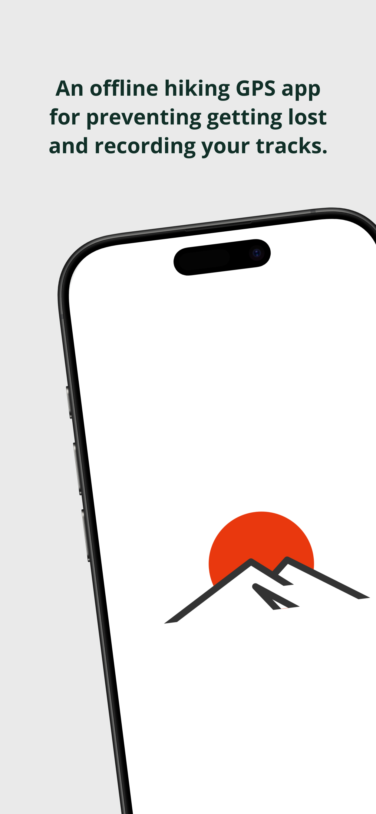
An offline hiking GPS app ideal for preventing getting lost and recording your tracks. Accurately displays your location even in remote mountains, with lock-on navigation showing direction and distance to your destination. Automatically records your hiking route.
■ Peace of Mind Without Signal! Full Offline Support
No cell service is the norm in mountainous areas. Download maps to OnTrails in advance, and you can use GPS navigation even without signal.
・Bulk map download feature (prepare in advance via WiFi)
・GPS works via satellite, so it operates even outside cell coverage
・Real-time display of current coordinates, elevation, and speed
・Tracking (route recording) also works offline
■ 401 Mountains Included
【Mountains of Japan】
100 Famous Japanese Mountains (Hyakumeizan) - 100 peaks
200 Famous Japanese Mountains (Nihyakumeizan) - 100 peaks
300 Famous Japanese Mountains (Sanbyakumeizan) - 101 peaks
【Mountains of the World】
100 famous peaks from around the world
Including Everest, K2, Mont Blanc, Kilimanjaro, and more
Covers the Himalayas, Alps, Andes, Rockies, and regions worldwide
■ Lock-On Feature - Navigate with Confidence
Simply select your target mountain or marker and "Lock On."
・Real-time distance display from your current location
・Large arrow showing the direction to go
・Voice guidance such as "500m remaining, northeast direction"
・Intuitive navigation even without knowing how to use a compass
・GPS alone shows direction and distance without cell service, preventing you from getting lost
■ Multiple Map Types Available
Compatible with maps worldwide. Can be used for overseas trekking.
・Google Maps
・Geospatial Information Authority of Japan (GSI) Maps
・OpenStreetMap
■ GPS Tracking (Route Recording)
Automatically records your hiking route as a red line on the map.
・Recording works offline
・Save and export as GPX files
・View and share routes on other apps or PC
■ Other Useful Features
Real-time display of current coordinates, elevation, speed, and bearing.
・Custom marker registration (water sources, trail junctions, hazardous areas, etc.)
・Mountain list search and sort (by name, elevation, distance)
・Regional filter function
・Emergency coordinate copy and share function
■ Recommended For
・Those heading to areas without cell coverage
・Beginner hikers worried about getting lost
・Those aiming to conquer all 100 Famous Japanese Mountains
・Those challenging overseas trekking
・Those wanting a backup tool for paper maps and compass
・Those wanting to easily record hiking logs on their smartphone
【Please Note】
Advance map download is required for offline use.
GPS accuracy varies depending on device and environment.
This app is an auxiliary tool for hiking. Please always carry paper maps, a compass, and sufficient equipment.
Submitting a hiking plan and safety management are your own responsibility.
Subscription
Please refer to the following for terms and conditions regarding subscription use:
Privacy Policy: https://www.ontrails.jp/app/privacy-policy/ontrails/
Terms of Use: https://www.apple.com/legal/internet-services/itunes/dev/stdeula/
Classement dans le store
Le classement des stores est basé sur plusieurs paramètres définis par Google et Apple.
Toutes les catégories dans
États-Unis--
Navigation dans
États-Unis--
Principaux concurrents & apps alternatives
Applications ayant une forte probabilité d'être utilisées par les mêmes utilisateurs, à partir du même store.
あの山へ!
MountainCollector
日本100選スタンプラリー
山と高原地図ホーダイ 登山地図・GPSナビ
janvier 17, 2026