topoArea のアプリ分析 1月27日
topoArea
- Paulo Correia
- Apple App ストア
- 有料
- 生産性
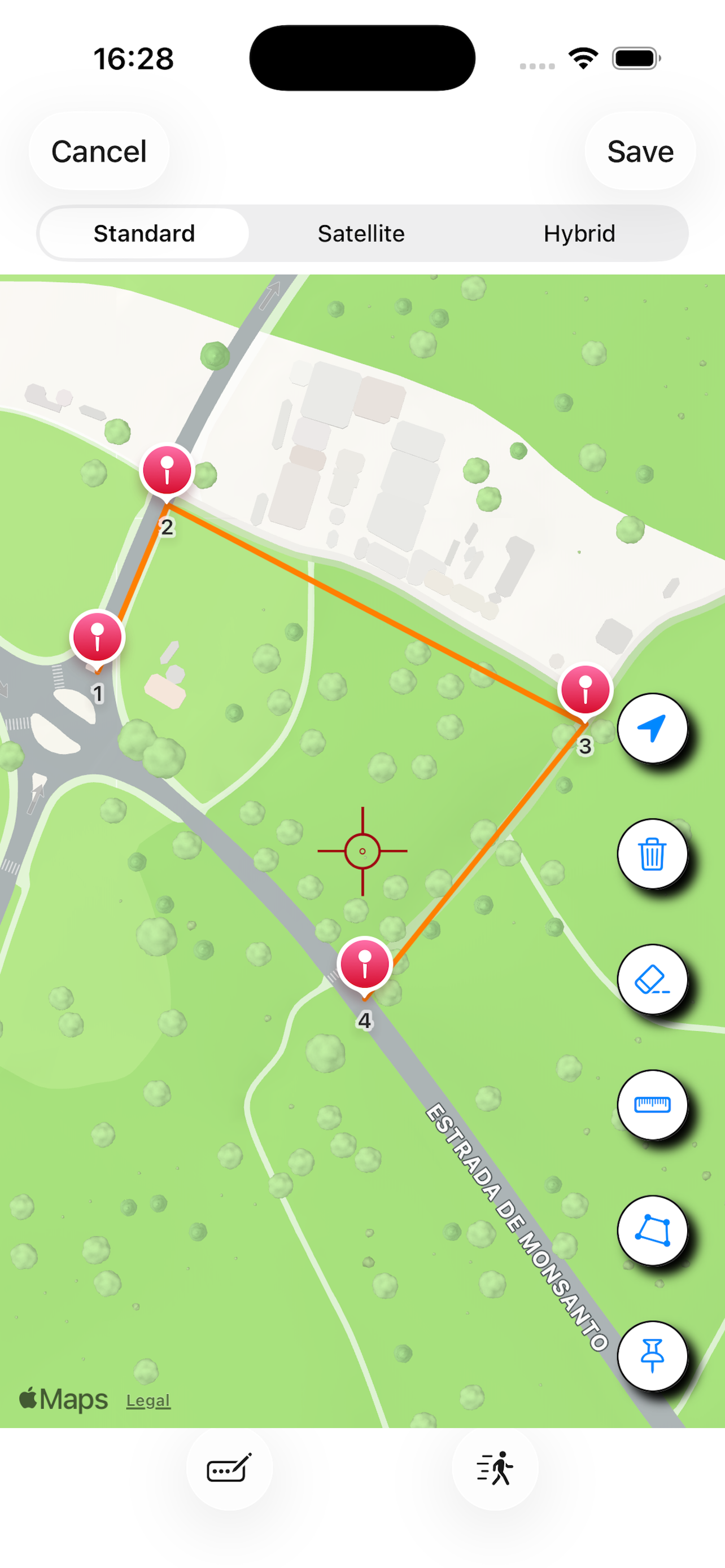
topoArea is an app for measuring areas and lengths through coordinated points on the map.
To do this, simply select different points on the map and then calculate the area and perimeter, or the total length between points.
To select the points, a simple click is required, or you can enter the coordinates manually.
topoArea allows you to export, in "csv" format, the file with the Coordinates, being able to save it in the Files folder, or share it by e-mail or written message, allowing someone else who has the app to import the file and open it. You can also, for example, create the file on the iPhone, export it, and open it on the iPad. Since the file has a "csv" format, it is compatible with Numbers and Excel.
topoArea also allows you to export and share files in the "kml" format, used by Google Earth.
In addition, topoArea has a Coordinate Converter, which allows you to convert between Decimal Degrees, Degrees Minutes and Seconds, and UTM using WGS84.
Features:
- Measurement of areas, perimeters and lengths;
- Introduction of Coordinates by fixing the point, or manually, by latitude and longitude in decimal degrees;
- Export, in "csv" format, of coordinates and distances;
- Export, in "jpg" format, of the screen image
- Import, in "csv" format, of Coordinates, in the topoArea model;
- Export, in "kml" format, of Points, Lines and Polygons;
- Units in the metric system or in the imperial system;
- Coordinate Converter.
ストアランキング
ストアランキングは、GoogleとAppleが設定した複数のパラメータに基づいています。
業界別 ウェブサイトカテゴリーで
米国--
生産性で
米国--
1月 27, 2026