

You’ve hit your search limit
Start your free trial to keep exploring full traffic and performance insights.
Get StartedAnalyse de l'application EDDMapS pour le 15 août

EDDMapS
- Charles T. Bargeron
- App Store Apple
- Gratuit
- Utilitaires
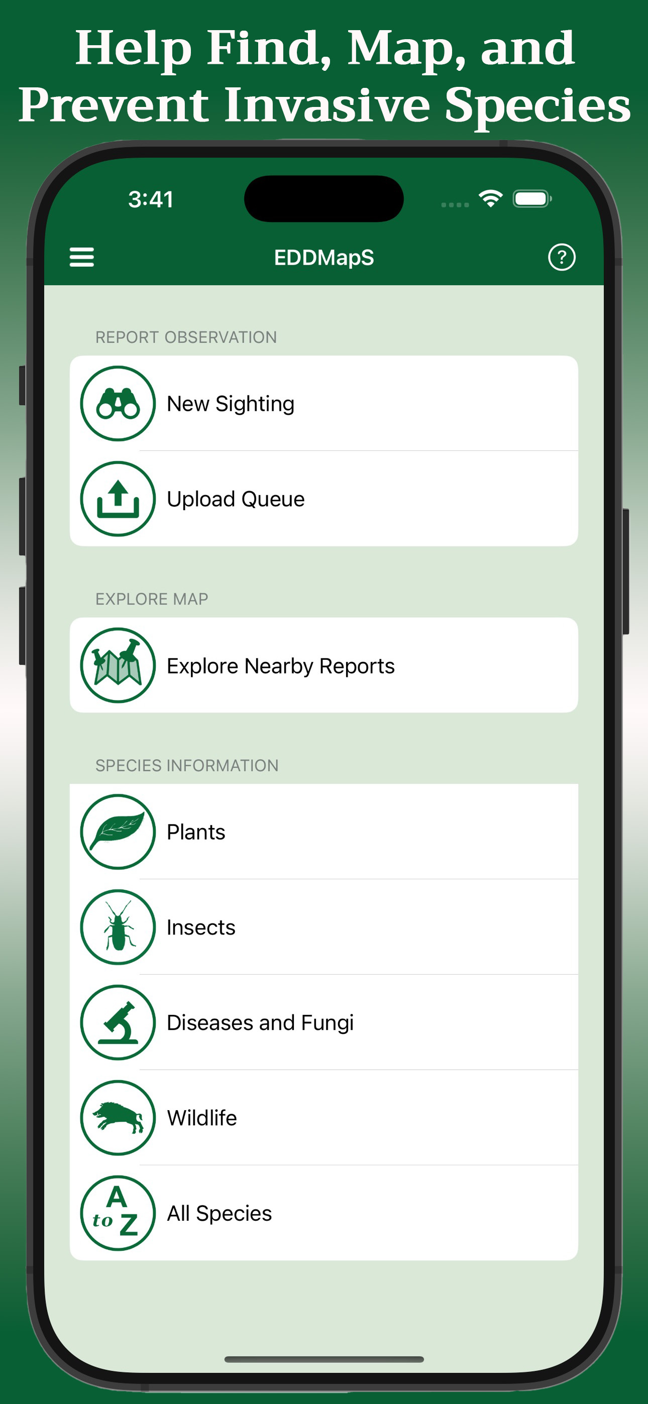
EDDMapS is a mapping system for documenting invasive species distribution. It is fast, easy to use, and doesn't require Geographic Information Systems experience. Launched in 2005 by the Center for Invasive Species and Ecosystem Health at the University of Georgia, it was originally designed as a tool for state Exotic Pest Plant Councils to develop more complete distribution data of invasive species.
EDDMapS goal is to maximize the effectiveness and accessibility of the immense numbers of invasive species observations recorded each year.
Why do we care?
An invasive species is when a nonnative species causes or is likely to cause economic, environmental harm, or harm to human health. Invasive species negatively impact agriculture, recreation, natural ecosystems, biodiversity, and more. The first step is prevention of nonnative introduction. The second step is to map where the invasive species are found in the introduced area.
How does it work?
EDDMapS is a platform to document, display, and query the presence of invasive species. A simple, interactive Web interface engages participants to submit their observations or view results through interactive queries into the EDDMapS database. EDDMapS encourages users to participate by providing Internet tools that maintain their personal records and enable them to visualize data with interactive maps.
Users simply enter information from their observations into the standardized reporting form, which allows specific information about the infestation and images to be added. Uploaded data entered is immediately loaded to the database for verification. Once data is reviewed as correct by an expert, it is available for viewing and download. Being able to see the current data of a species as it moves into a new area helps to facilitate Early Detection and Rapid Response programs (EDRR). EDRR programs help stop or control an invasive species before it becomes an unmanageable problem.
All data is reviewed by expert verifiers to ensure all data is accurate prior to public availability. The data is freely available to everyone including scientists, researchers, land managers, land owners, educators, conservationists, ecologists, farmers, foresters, state, and national parks.
Classement dans le store
Le classement des stores est basé sur plusieurs paramètres définis par Google et Apple.
Toutes les catégories dans
États-Unis--
Utilitaires dans
États-Unis--
Principaux concurrents & apps alternatives
Applications ayant une forte probabilité d'être utilisées par les mêmes utilisateurs, à partir du même store.

HerpMapper

Project Monarch Science

ArcGIS Survey123

ArcGIS QuickCapture
 EDDMapS VS.
 août 15, 2026